
Jacksonville ZIP Code Coverage
ZIP codes are postal delivery geographies, not city boundaries. For Jacksonville research, 28540, 28541, and 28546 are the principal USPS Jacksonville associations. Other nearby codes carry military or installation associations that may still be grouped with a Jacksonville label. The postal code is a useful first filter, but the county GIS map decides whether a property is in Jacksonville, its ETJ, unincorporated Onslow County, or a military setting.
| ZIP | Areas Covered | Post Office | Notes |
|---|---|---|---|
| 28540 | Central or main Jacksonville postal area | Jacksonville, NC | Confirm each address and city-limit position. |
| 28541 | USPS Jacksonville association | Jacksonville, NC | Exact delivery boundary needs address and GIS review. |
| 28546 | Jacksonville postal area | Jacksonville, NC | Postal coverage can cross city or county geography. |
| 28547 | Camp Lejeune-associated postal geography | Jacksonville label grouping | Postal label and city limits can differ. |
| 28543 | Tarawa Terrace-associated military area | Jacksonville 28546 grouping | Verify the physical installation or address. |
| 28544 | Midway Park-associated military area | Jacksonville 28546 grouping | Do not infer city residence from the label. |
| 28545 | MCAS New River postal place | McCutcheon Field, NC | USPS lists 234 Curtis Road, MCAS New River, NC 28545-5002. |
| 28542 | Camp Lejeune postal place | Camp Lejeune, NC | Not a Jacksonville incorporated-city ZIP. |
The official USPS label file groups 28540, 28541, and 28547 under a Jacksonville 28540 label grouping. It also groups 28543, 28544, and 28546 under Jacksonville 28546. Those groupings are useful for mail terminology, not for proving municipal jurisdiction, title, or who occupies an address.
Jacksonville ZIP Codes Near Camp Lejeune
Jacksonville research is shaped by Camp Lejeune and MCAS New River. A directory, phone record, voter record, or deed may use Jacksonville, an installation name, Onslow County, a township, or an older street description. ZIP 28547 can carry a Jacksonville association even though it is tied to Camp Lejeune military geography. ZIPs 28543 and 28544 are associated with Tarawa Terrace and Midway Park. ZIP 28542 is Camp Lejeune, and 28545 is the McCutcheon Field or MCAS New River postal place.
Keep the historic or postal wording in notes while checking the actual parcel. A military mailing designation does not automatically tell you that a location lies in the incorporated city. It also does not tell you who lives there. The Onslow GIS map contains layers for ZIP codes, city limits, ETJ, county boundaries, townships, address points, and street centerlines. Use those layers before selecting an office or interpreting a mailing label.
Note: A postal association is useful for delivery research, but a GIS parcel and its jurisdiction are better evidence for a Jacksonville location question.
USPS Checks for Jacksonville ZIP Codes
The USPS ZIP Lookup is the official starting point for delivery and address normalization. It offers three documented routes: an address search, a city-and-state search, and a cities-by-ZIP search. The address form requires street address, city, and state, and it offers optional company, apartment or suite, and ZIP fields. City and state are required for the city route, while the cities-by-ZIP route requires the ZIP itself.
| Lookup route | Documented input | Use in Jacksonville research |
|---|---|---|
| By address | Street address, city, state; optional company, unit, ZIP | Normalize a full address before map or property work. |
| By city and state | City and state | See postal ZIP associations for a named place. |
| Cities by ZIP | ZIP | Check the postal label attached to a code. |
USPS warns that a ZIP result does not confirm a person or business at an address. It can also require a unit number or return more than one standardized match. That limit matters for any Jacksonville ZIP code directory search. Treat the result as delivery geography, then use GIS and the tax or deed record for the parcel question.
Finding Jacksonville Records by ZIP Code
Finding a name or property through one ZIP is a narrowing process, not a citywide resident roll. USPS can normalize the address. GIS can show the ZIP polygon, address point, parcel, city limit, and other geography. The Onslow Tax Search then offers owner, parcel, address, and map search methods. Its basic property-address search has house number, street name, street type, and Exact, Begins With, or Contains options. It does not provide a dedicated basic ZIP field.
- Use USPS to standardize the full address and note the ZIP association.
- Search the physical address in Onslow GIS and inspect the ZIP, city-limit, ETJ, township, and parcel layers.
- Use Tax Search by address, owner, parcel, or map number when a property record is needed.
- Check the Register of Deeds reference from the parcel when a recorded-owner or title question remains.
- Use voter data only for the public fields returned and preserve every privacy exception.
The NC voter lookup is name-based, with first and last name required and county, year, middle initial, and status controls available. Its downloadable voter files include address and county or precinct fields, but the research does not document a simple ZIP directory guarantee. When a ZIP has narrowed the search to a street, the Jacksonville by-street directory is the appropriate next path for the address-based method.
Jacksonville ZIP Code Filters in County Maps
Onslow Tax Search and GIS complement each other. Tax Search is useful when an address, parcel, owner name, or map number is known. GIS is better for geometry and boundary context. The GIS search modes include owner name, Parcel ID, NCPIN, and property address. It can also search the current deed book and page. Advanced search includes geography and map choices, while the map layers expose ZIP codes and city or ETJ boundaries. A physical address is searched through the PHYSICAL_ADDRESS attribute using a contained match.
The official Tax Search help page documents the ZIP, address, map, and owner search approach used in this Jacksonville ZIP code directory workflow.
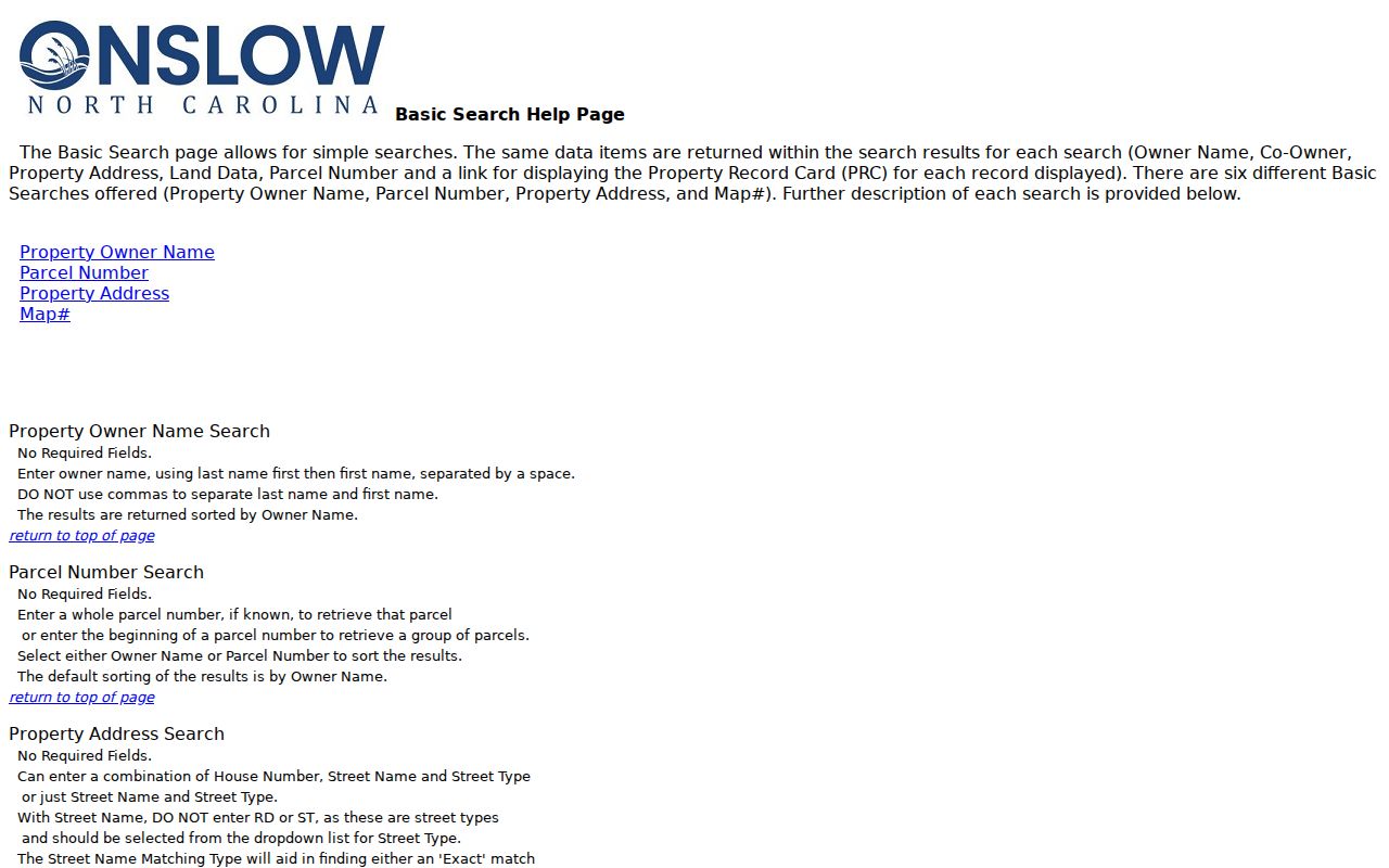
The tax tool is a property-record path, so an owner mailing address or situs field must not be relabeled as an occupant list.
For a map-based check, the Onslow GIS downloads page identifies current parcel, address, boundary, and ZIP layers with their own data dates.
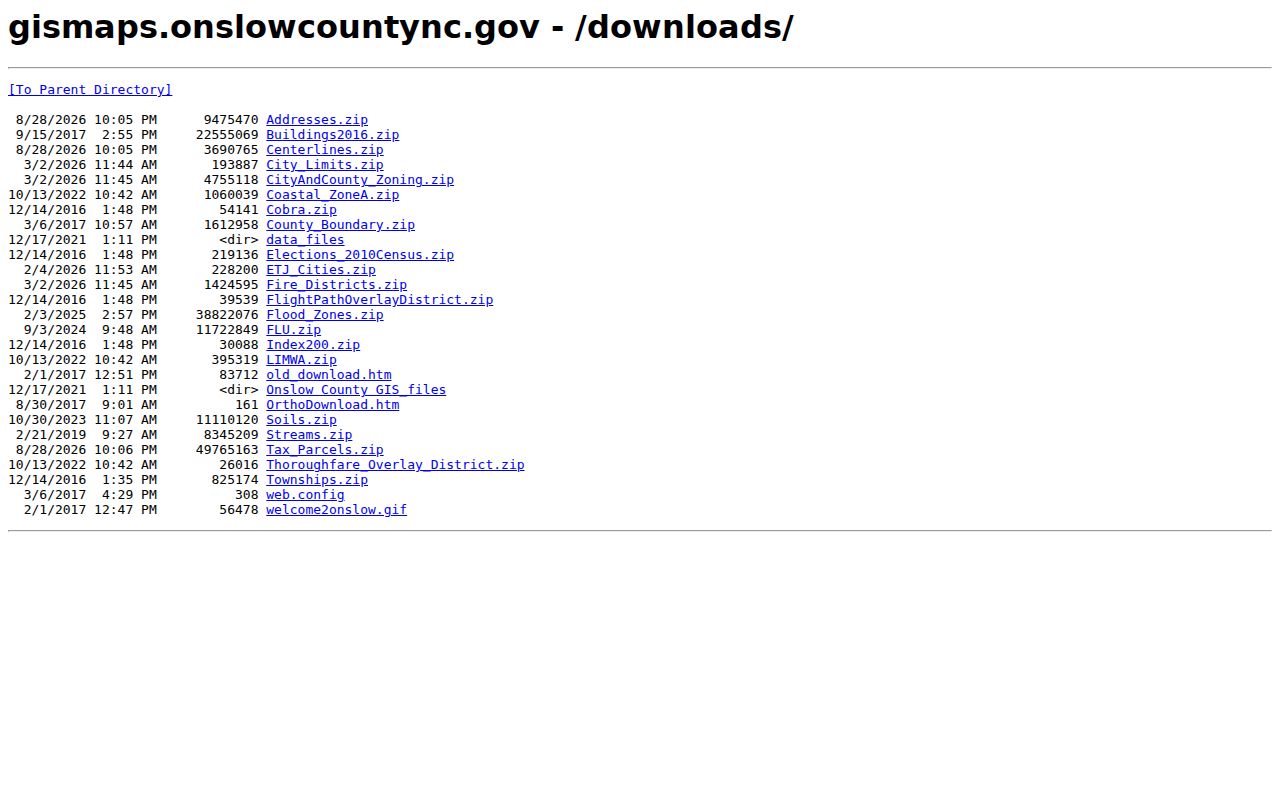
Layer dates are not interchangeable. The research observed address and tax-parcel downloads dated August 27, 2026, while other layers carry separate effective or update dates.
Jacksonville ZIP Codes and City Limits
A Jacksonville ZIP code does not establish that an address is inside Jacksonville city limits. City addresses can cross the incorporated city, ETJ, unincorporated county territory, military installations, and postal places. The city itself notes that some municipal forms apply only within the city limits and ETJ. For a record request, that difference can determine whether the city, Onslow County, a county office, or an installation-related custodian is the proper route.
Use the GIS map's ZIP, city limits, ETJ, township, and county layers together. The map has a ZIP layer and other geographic layers, while its parcel lines come from deeds and plats and are not a legal survey. A parcel can have a Jacksonville mailing city while sitting outside the incorporated city. Likewise, a military ZIP may have a Jacksonville label while its physical setting belongs to a federal installation.
- ZIP code
- A postal delivery area. It is not a city-limit line or proof of residence.
- ZIP+4
- An added delivery segment used for more precise mail routing. It does not change the underlying municipal boundary.
- Postal place
- The place name USPS associates with delivery. It can differ from the local government jurisdiction.
- Carrier route
- A delivery route grouping. It is not a parcel boundary or a list of everyone at an address.
Jacksonville ZIP Code Results Do Not Prove Residence
A tax mailing address, voter registration address, USPS result, or ZIP label does not prove who occupies a parcel. The tax field may be a correspondence address for the owner. A voter result is registration information and has protected-address exceptions. A USPS result confirms delivery terminology, not a person at the address. A deed identifies parties to a conveyance but does not necessarily identify a current occupant.
North Carolina Public Records Law, N.C. Gen. Stat. Ch. 132, generally provides access to existing public records for inspection and copying at reasonable times. It does not require a custodian to create a custom resident list. Use only the fields necessary for a lawful personal research question, verify an important match through independent records, and do not use location information to stalk, harass, or harm anyone.
Historic Jacksonville Addresses Before ZIP Codes
Older Jacksonville records predate ZIP codes, so a modern code is often the wrong starting point for family-history work. Use the historical street name, county, township, legal description, or contemporary landmark. The Tucker Littleton Room holds Jacksonville directories from 1960 to 2019, telephone books from 1957 forward, local newspapers from 1938 forward, and census resources. DigitalNC supplies directory scans from 1948, 1957, 1958, 1960, and 1961.
The Onslow Register of Deeds says deed books reach back to 1734, although its searchable consolidated windows are narrower. For a historical location, bridge the modern parcel to a deed book and page, then follow the recorded legal description and prior instrument. If the online index stops, use the pre-1976 or book-page path, the ROD counter, State Archives, or library microfilm. That method keeps old Jacksonville place names intact instead of forcing them into a later ZIP code.
The GIS layers service shows the source behind Jacksonville ZIP code, boundary, and related map layers.
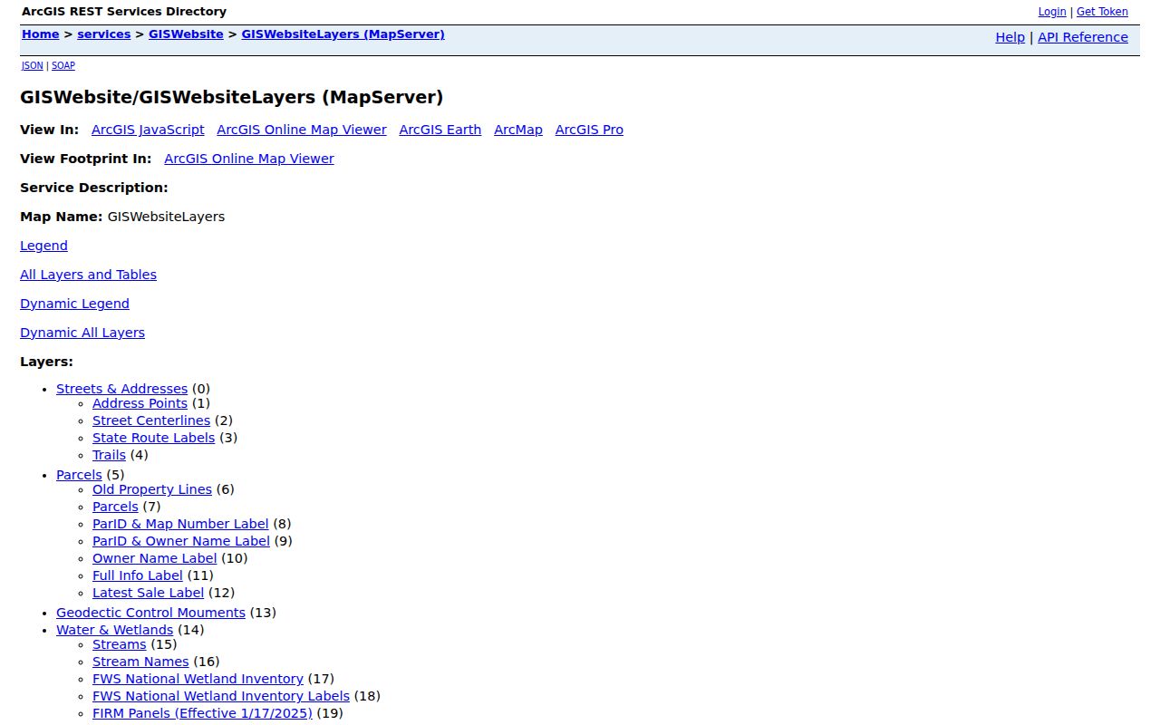
Using the map layer with the historical address protects against an easy mistake: treating a current postal zone as if it were an old city boundary.