
Jacksonville Neighbors Block Record Coverage
Public sources answer different block questions. Onslow GIS is the best first layer because it locates a parcel and its nearby geometry. The tax record adds an owner and mailing context. The voter system concerns registration, not ownership or every person at an address. Historical directories add dated household snapshots through the library. Community contacts follow a different route, and the city has not published a stable official roster for every Jacksonville association.
| Source | What It Shows About a Block | Access |
|---|---|---|
| Onslow GIS Parcel Viewer | Jacksonville-area parcels, address points, deed book or page, map geometry, and adjacent selections | Public map |
| Onslow Tax / Property Search | Jacksonville owner, parcel, situs, tax-year, and mailing context | Public portal |
| NC Voter Lookup | Public Jacksonville registration fields where a record is not protected | Election service with exclusions |
| City Community Engagement Form Center | Jacksonville organization registration and civic contact route | Official city form route |
| Tucker Littleton Room | Jacksonville historic directories, telephone books, newspapers, and microfilm | Library research route |
A parcel owner and an occupant are not interchangeable. A mailing address may be used for tax correspondence, and a property can be held by an organization or trust. Treat public fields as evidence of the record’s purpose rather than a roster of Jacksonville neighbors.
Jacksonville Neighbors Through Parcel Buffers
Onslow GIS supports a close block method. Search by owner name, Parcel ID, NCPIN, or physical address. Owner names use the format last,first, with no space after the comma. From the selected parcel, note the situs address, PIN or PARID, current deed book or page, legal description, and map geometry. Then use Tools, Select by Location, and a buffer distance in feet to select adjacent parcels. Zoom to the selection and open each result rather than assuming the shape on the screen tells the whole story.
The selected result can hold up to 2,500 features and has a CSV or Excel export icon. A small, purpose-appropriate buffer is normally clearer than an oversized radius. Where a road, river, or unplatted strip separates parcels, pan the map and repeat the selection. GIS lines are compiled from deeds and plats, and the county warns that they are not a legal survey.
The Onslow GIS help page documents its search, tools, export, and printing functions.
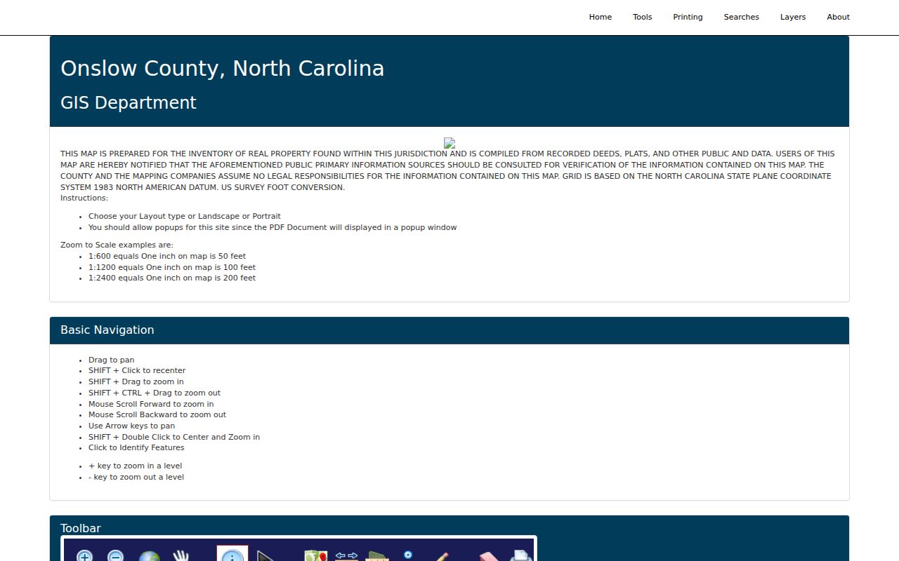
The map tools support a Jacksonville neighbors search that stays focused on the immediate parcels around one address.
Address → target parcel → PIN or PARID → small buffer → selected parcels → public owner and deed reference. This flow preserves the source trail for each nearby result.
Jacksonville Neighbors Need Boundary Layers
A Jacksonville mailing label does not settle jurisdiction. The GIS service carries ZIP Codes, city limits, the city’s extraterritorial jurisdiction, townships, zoning, wetlands, flood zones, neighborhood layers, address points, and street centerlines. Use those layers to explain a parcel’s setting before asking a city or county office for a related record. This matters near Camp Lejeune, New River, and unincorporated Onslow County, where postal and municipal lines can diverge.
ZIP is a delivery geography, not a city boundary. A military-associated postal place may use a Jacksonville connection while the parcel is not inside the incorporated city. The municipal, county, military, and postal distinction also helps explain why one nearby address produces a different public-office route from another. It is a geographic check, not a measure of who lives on the block.
The official GIS layer service identifies the map layers available for Jacksonville-area parcel research.
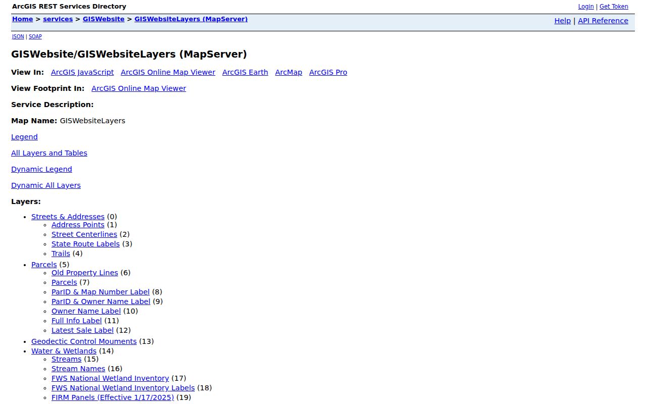
Layer choices give a Jacksonville block search the jurisdiction context that a street address alone cannot provide.
The Jacksonville-area GIS download inventory lists the county’s parcel, address, boundary, and ZIP layer downloads with their own dates.
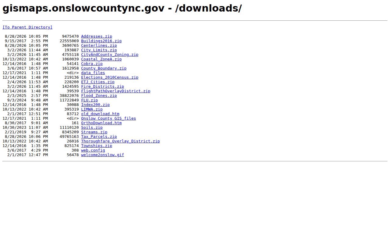
Those dated Jacksonville GIS layers should be checked separately because parcel, address, flood, zoning, and other updates do not all share one schedule.
Note: Confirm an address in the live GIS map before treating a Jacksonville postal label as proof of city jurisdiction or a county-office responsibility.
Jacksonville Neighbors Myth: Owner Is Occupant
Myth. A nearby parcel result identifies every person who lives there. It does not. The parcel and tax layers can show a public owner, situs, mailing information, deed reference, assessed values, sales information, and geometry. They do not establish the current people inside a building. The owner might be an individual, a trust, a company, or a party that receives mail somewhere else. A voter record has a separate purpose and may be protected, stale, removed, or tied to a different registration context.
Keep the public block note narrow: parcel identifier, situs, deed reference, and any public owner or mailing field needed for a lawful research purpose. Do not infer household composition, publish private contact details, or turn address-level records into a roster. For a broader, named-street chain, use the Jacksonville by-street directory instead of expanding a one-block search beyond its purpose.
Map a Jacksonville Neighbors Block
Follow the parcel trail one record at a time. The GIS result is an efficient geographic start, but the deed reference and tax record put a selected parcel in context. If adjoining shapes appear uncertain, use the legal description and recorded instrument rather than treating a map line as a survey boundary. The method remains about the immediate block, not a list of all people on a street.
- Find the known address in Onslow GIS by physical address, then open the parcel detail.
- Record the PIN or PARID, situs, current deed book or page, and the geography layers that affect jurisdiction.
- Use Select by Location with a small feet-based buffer, then inspect each selected parcel’s public result individually.
- Compare the tax owner field with the deed reference when ownership matters, and keep the owner-versus-occupant distinction visible.
- Use the ROD instrument or plat for a boundary question that requires more than the map display.
Onslow’s Taxpayer Portal is one official route for listings, address changes, and appeals that sit alongside the public parcel search.
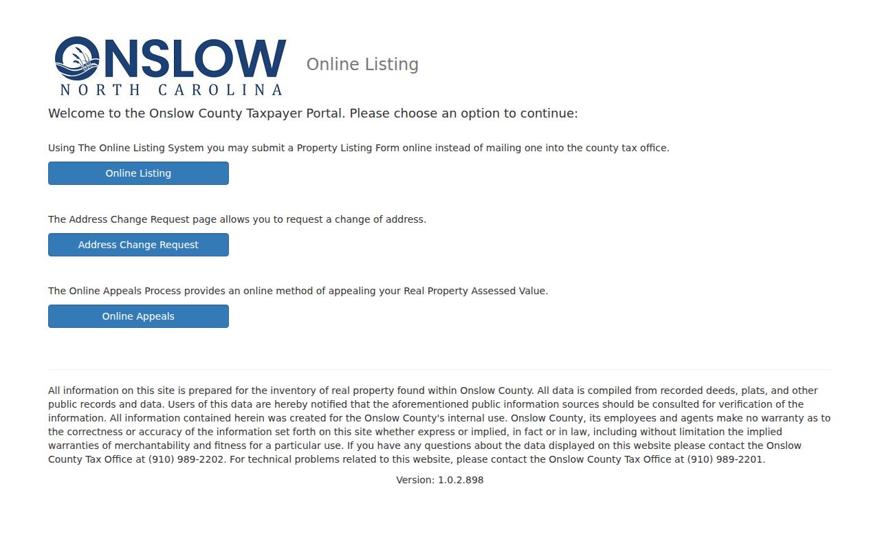
The portal is part of the county property-record ecosystem, but it does not change the need to distinguish an owner record from an occupancy claim.
Jacksonville Neighbors Community Contact Routes
Jacksonville has an official route for neighborhood organization registration and community engagement, but research did not locate a stable city-issued directory of every association, officer, or meeting place. That gap is useful information. Use the Jacksonville form center to identify a current contact route rather than copying an old roster or assuming an informal neighborhood name has an organization behind it. The downtown plan’s Mill Avenue historic district and Riverwalk Crossing context are historical reference points, not current association membership evidence.
City Community Engagement
Role: Jacksonville organization registration and civic contact route.
Access: Community Engagement Form Center.
Tucker Littleton Room
Role: Historical local directories, telephone books, newspapers, census access, and microfilm.
Access: Genealogy and Local History.
The city’s Community Engagement Form Center is the documented place to start before contacting a Jacksonville neighborhood organization.
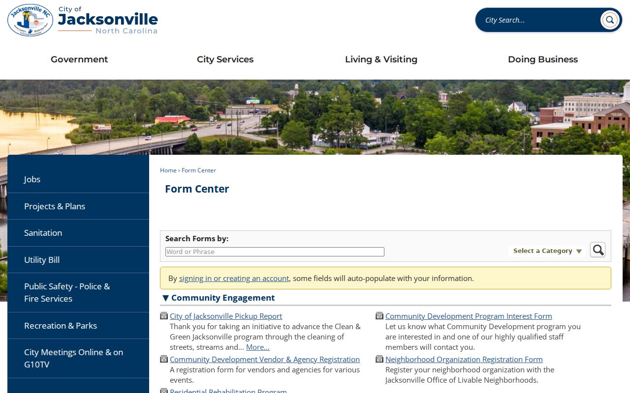
The form route is more reliable than an unsourced claim that a full Jacksonville neighborhood directory is publicly available.
Jacksonville Neighbors Official Records Compared
Official sources preserve their own limits. A parcel map shows spatial relationships and public parcel details. The tax record records assessment and mailing context. A deed connects legal parties to an instrument and description. Community tools can route an inquiry without proving membership. Commercial neighbor-search categories may merge records from different dates and purposes, so they should not replace a live county source or be treated as proof of occupancy.
| Source type | Useful for | What it cannot establish |
|---|---|---|
| Official GIS and tax records | Parcel placement, public owner field, tax and map context | Every current occupant or a survey-grade boundary |
| ROD deed or plat | Recorded legal parties, description, and title-chain research | Every person currently at the physical address |
| Official voter result | Public registration context where available | Ownership, household makeup, or an unprotected address |
| Commercial neighbor tools | A possible research lead to verify independently | An official, current, or complete block record |
Jacksonville Neighbors and Voter Visibility
North Carolina voter information has a defined election purpose. Public results may include a name, registration status and reason, address, party, precinct, jurisdictions, and voter history where available. The state excludes birth dates, Social Security numbers, driver-license numbers, certain email information, protected addresses, and other fields. Registration residency is based on fixed habitation and intent to return, while property ownership or tax payment alone is not residency.
At block scale, the limitations multiply. Protected addresses, inactive or removed records, registration changes, shared addresses, and military-related exceptions make a simple count unreliable. If an address-level public record is relevant, describe it as a publicly indexed registration result, not a list of everyone who lives nearby. The Onslow Board of Elections and NCSBE are the proper routes for a targeted existing election record under Chapter 132.
Note: Voter information can provide limited Jacksonville neighbors context, but the record must retain its election purpose and privacy exclusions.
Privacy Limits for Jacksonville Neighbors
North Carolina Chapter 132 generally provides access to government records for inspection and copying, but it does not require an agency to create a custom block list. Custodians may protect or redact confidential fields. Protected voter addresses, full birth data, adoption material, confidential court information, personal motor-vehicle data, and certain victim information are not block-search material. The Address Confidentiality Program provides qualifying participants with a substitute address, and no public source should be used to reconstruct their location.
A public parcel map is not a reason to contact, watch, or pressure people around an address. If a record looks inaccurate, address the question to the office that maintains it. If an instrument appears suspicious, preserve the deed reference and contact the Register of Deeds or law enforcement through official channels.
Lawful use. Jacksonville neighbors research can support personal, lawful property curiosity, reconnecting, family history, or a public-record question. Do not use it to stalk, harass, intimidate, threaten, or harm anyone.